PR JABAR – Philippines earthquake today with a magnitude of 7.8 caught the attention of the Southeast Asian region on Monday (8/6/2026) morning. The strong shaking was centered off the southern coast of Mindanao and triggered panic among residents. Apart from collapsing a number of buildings in General Santos, this tectonic earthquake activated a regional scale tsunami early warning by Pacific Tsunami Warning Center (PTWC).
Remember the epicenter of the latest earthquake being very close to the waters north of the archipelago, concerns are related the impact of the earthquake in Indonesia suddenly appeared.
Tsunami Threat in the Pacific Ring of Fire
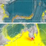
Geographically, the southern Philippines and eastern Indonesia are closely connected by an active seismic belt or what is known as Pacific Ring of Fire (Ring of Fire). These tectonic conditions cause energy to propagate from shallow earthquake in Mindanao—with a depth of only 55 kilometers—poses a serious threat of wave propagation for the provinces of North Sulawesi, Gorontalo, and North Maluku.
The propagation of these seismic vibrations was even reported as being light by some residents in the Sangihe Islands and other border areas.
Also Read: Latest Update on Mindanao Earthquake: Shopping Center Collapses, Hundreds of Victims Evacuated
Explanation of BMKG Earthquake Information: Is North Sulawesi Safe?
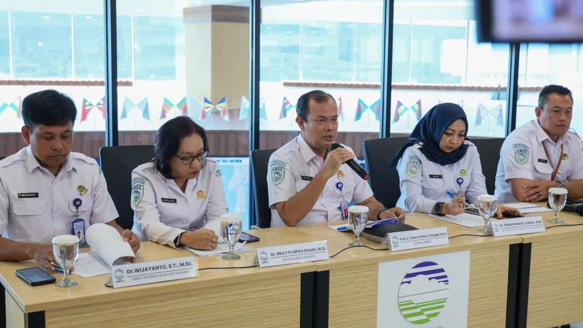
Responding to the potential threat of a tsunami, the Meteorology, Climatology and Geophysics Agency (BMKG) immediately took quick steps. The seismology team immediately carried out close monitoring of sea level fluctuations around the northern waters of Sulawesi. Network of ocean wave recording devices (tide gauge) is enabled to maximum to detect anomalies.
The good news, after close post-earthquake observation, BMKG earthquake information officially stated that the threat of destructive waves was not proven to reach Indonesian territorial waters.
“The results of our modeling and instrument monitoring in the field show that there are no significant sea level anomalies in our waters. The tsunami early warning was lifted“, and the coastal communities of North Sulawesi and North Maluku are advised to return to normal activities,” stressed the BMKG representative.
Early Warning Revoked, Residents Asked to Beware of Hoaxes
Although small-scale tsunami waves (1 to 1.5 meters) were reported to have damaged some coastal facilities in Zamboanga del Sur, Philippines, the propagating energy of the waves was confirmed to have dissipated in the open sea before touching the Indonesian coastline.
In the midst of a post-disaster situation, the public is advised not to be easily provoked by information whose truth is not yet clear. Make sure to always use the official local BMKG or BPBD application as the only valid and trusted reference for disaster mitigation information.***